Australia / Sydney

A Sydney walk for the time you actually have.

Harbour views do not have to mean an all-day itinerary. Pick a reserve you can explore at your own pace, a waterfront walk with a planned return, or a short named loop. Start with the shape of the walk, then decide how far to go.

By VANTH Studio · Reviewed 6 September 2026

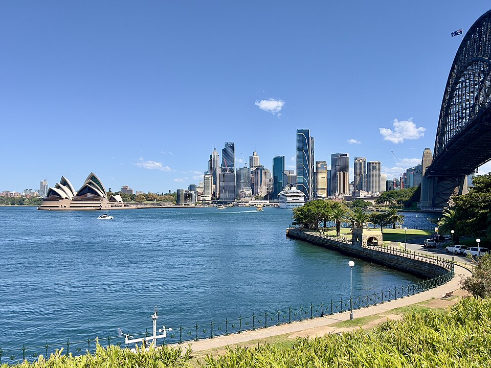
Sydney Harbour, the Opera House and Harbour Bridge seen from the waterfront

Photo: Skyline of Sydney CBD, Sydney Harbour Bridge, 2023 — Chris Olszewski · CC BY-SA 4.0. Illustrative photograph; display crop.

How much time do you have?

Use these as starting ideas. Planning windows exclude travel to the start, and allow different amounts of stopping time. For a named trail, follow the operator’s guidance. A short park visit does not mean completing its entire perimeter.

Options to consider: 3. Check the return plan and current access before choosing.

01

Barangaroo Reserve

Flexible park walkChoose a sectionPlan 30–45 min

Why choose it. Choose this when you want harbour scenery without committing to the length of a named trail. Stay near Wulugul Walk for the foreshore, or spend your time among the reserve’s lawns and coves.

Use half your available walking time as a turn-back reminder if you follow the waterfront in one direction. Upper paths and the foreshore have different access options; check the reserve’s route information for your needs.

Starting area
An open reserve entrance, such as Towns Place
Return plan
Return to the entrance you chose; this is not a fixed measured loop.
02

Glebe Foreshore Walk

Linear waterfront walk2.2 km one wayAllow 60–90 min for a return outing

Why choose it. A useful choice when you prefer following the water to navigating city blocks. The City of Sydney describes a continuous foreshore path between Bicentennial Park and Bridge Road.

At an assumed 4.8 km/h, the one-way distance is about 28 moving minutes; the return is about 55, before stops. For a shorter outing, turn around earlier rather than treating the full waterfront as a half-hour loop.

Starting area
Bicentennial Park, Glebe, or the Bridge Road end
Return plan
The full path is linear. Walking it both ways is about 4.4 km.
03

South Head Heritage trail

Named loop1 km loopOperator suggests 30–60 min

Why choose it. Choose the short named trail when you want a defined route, harbour views and the Hornby Lighthouse area. NSW National Parks lists this as a Grade 3 walk, despite its short distance.

Use the operator’s 30–60-minute guidance rather than a flat-ground kilometre calculation. There are steps and uneven historic surfaces. Check the linked local alerts and allow separately for getting to Camp Cove.

Starting area
Camp Cove, Watsons Bay
Return plan
Follow the signed loop back towards Camp Cove; allow extra time to reach your transport.

The return journey is part of the Sydney plan.

A walk beside the harbour can finish a long way from its beginning. If you need to return to a hotel, station or parked car, decide whether you will retrace the path, take public transport, or choose a loop before you leave. Ferry waiting time and the walk from the wharf are separate from time on a trail. Around busy waterfront precincts, check current access notices instead of relying on an old route screenshot.

Want a different loop from where you are?

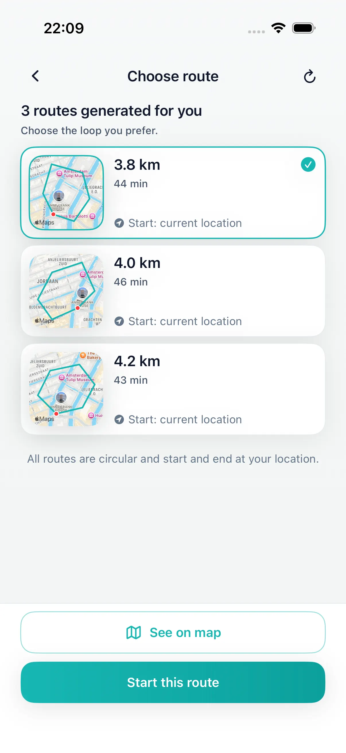
Open DailyWander on iPhone, choose distance or walking time, and review a proposed circular walk. The app generates its own route from available paths; it does not automatically recreate the published walks above.

Distance and time are estimates. Review the path, crossings and return point. Comparing three route options requires Premium.

DailyWander · km
Example app route choices in kilometres. Demo routes do not depict this city guide.

Before you go

Can I make every option a 30-minute loop?

No. Some options are linear, some are longer circuits and others are flexible visits. Use the return plan on each card. A calculator does not turn a one-way walk into a loop.

Will DailyWander open these exact routes?

No. This guide helps you choose an outing. DailyWander creates separate route suggestions from your chosen location and preferences; review those independently.

How to use this guide

These are editorial walking suggestions researched from the linked sources, not GPS tracks recorded by our team. Published distances are labelled; flexible visits have no invented precise distance. Where we calculate moving time, we use 4.8 km/h before stops. Check the operator’s latest notices, signs and local conditions. No route is certified here as step-free or suitable for every walker.

More places to walk